Free vectors
Free Photos
Free fonts
Free Footages
Web templates
Free Icons
Free brushes
Free styles
Free patterns
Free PSD
Search Photos
Request a design
Upload
Login with Google
Home
Photos
aerial map
Aerial map photos
Free download aerial map photos 399 files in .jpg format sort by newest first page 4, map of europe, aerial images, aerial space, creative world map, europe map, light map
Sort by:
Default
Trending now
Newest
Recommend
Relevant
Popular
Unpopular
map of europe
aerial images
aerial space
creative world map
europe map
light map
definition map
map stock
threedimensional map
financial map
map old
highdefinition map
3d www world map
maps homes
free download world map hd
map euros
map ancient
business map
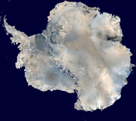
antarctica south pole continent
amaryllis flower plant
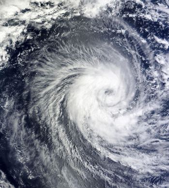
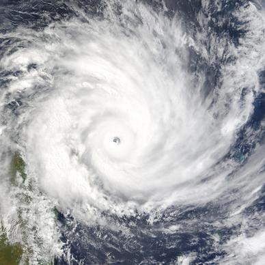
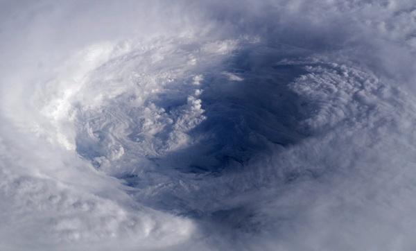
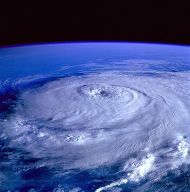
winter storm hurricane cyclone
egypt nile aerial view
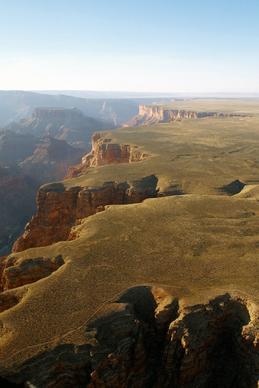
grand canyon aerial view arizona
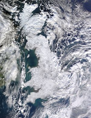
united kingdom winter aerial view
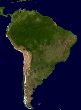
south america continent land
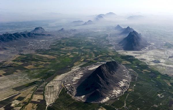
afghanistan landscape aerial view
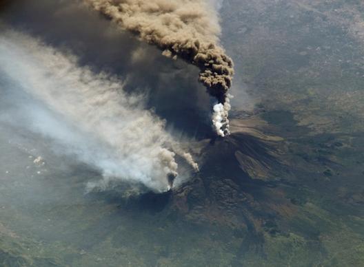
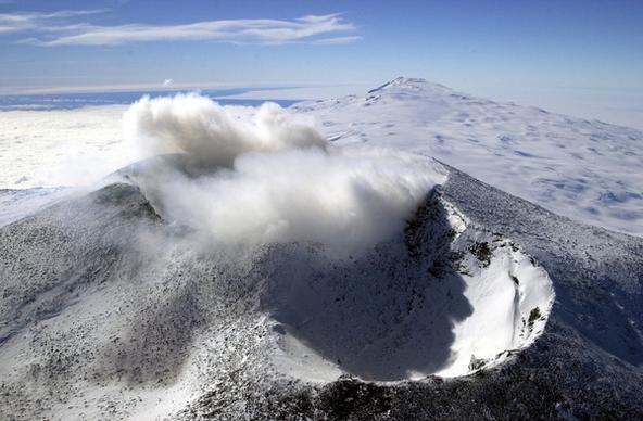
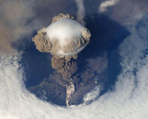
cloud of smoke etna volcanic eruption
desert dunes sand dunes
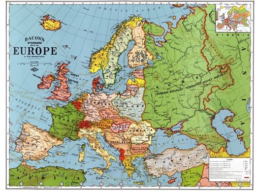
europe map 1923
tourist building people
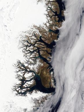
greenland fjords iced
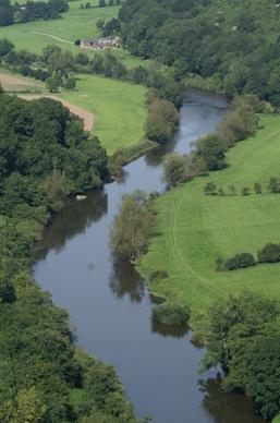
wye forest of dean forest
jefferson city missouri capitol
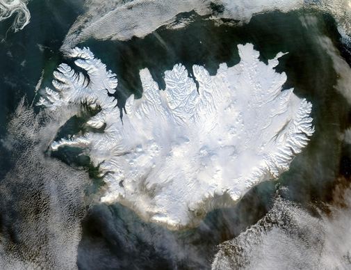
iceland winter polar cap
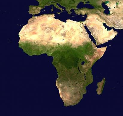
africa continent aerial view
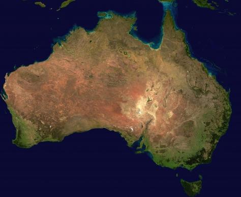
australia continent aerial view
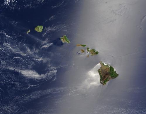
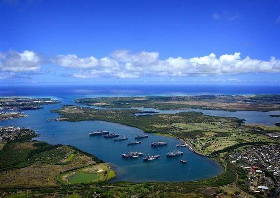
hawaii islands island chain
amaryllis flower plant
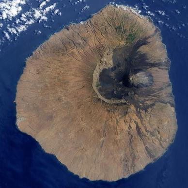
island fogo cape verde island
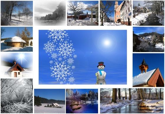
greeting card winter snow
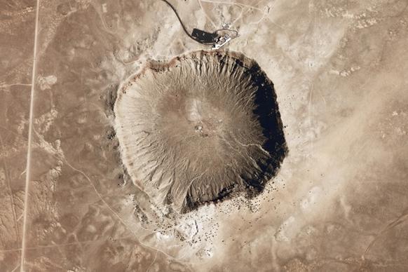
meteor crater meteorite impact
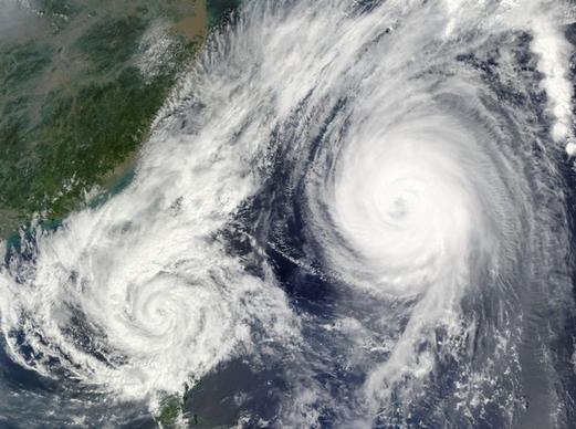
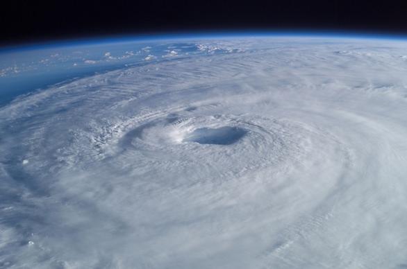
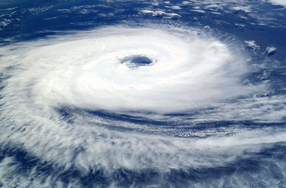
hurricane tropical cyclone typhoon
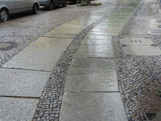
away berlin patch led
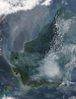
borneo forest fire satellite image
cyclone hurricane gafilo
tropical cyclone hurricane isabel
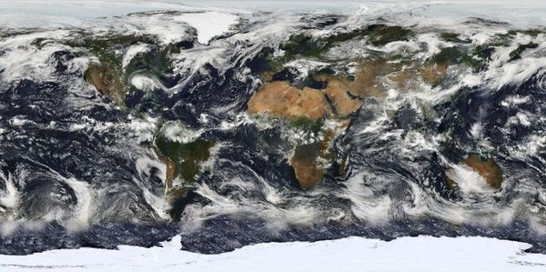
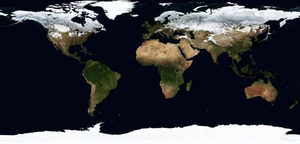
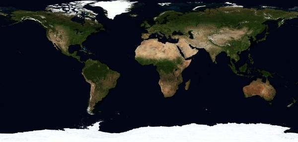
map of the world earth world
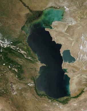
caspian sea satellite photo aerial view
advent advent calendar advent candles
charlotte north carolina city
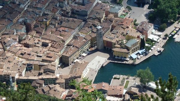
italy garda riva del garda
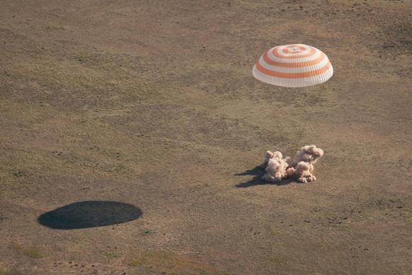
soyuz landing parachute
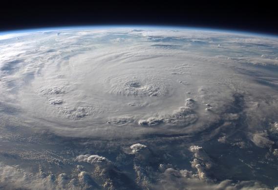
cyclone catarina hurricane
landover maryland fedex field
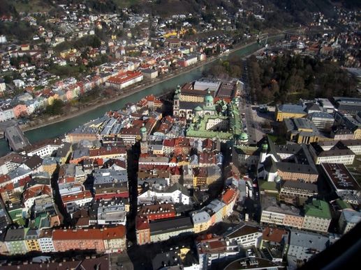
innsbruck austria europe
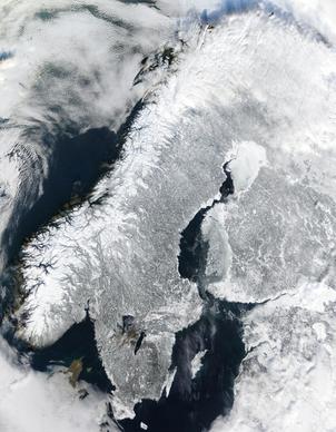
scandinavia norway winter
washington dc aerial view city
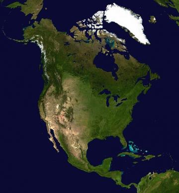
north america continent america
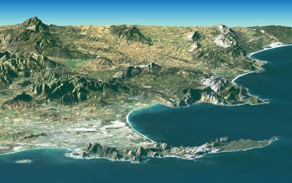
south africa cape town srtm
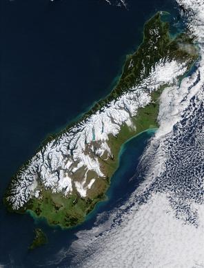
new zealand south island satellite photo
fort jefferson florida f a-18
scandinavia norway sweden
virginia beach town city
plane view aerial view
world map land
united kingdom england satellite image
hurricane isabel tropical cyclone
crater mountains aerial view
us navy blue angels demonstration
earth map winter
hawaii sky clouds
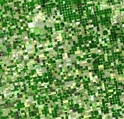
field cultivation fields cultivation
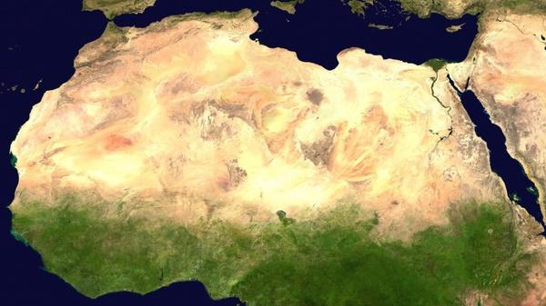
sahara desert satellite photo
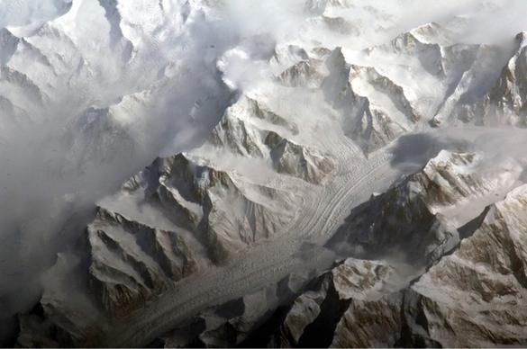
central tien shan china landscape
earth map summer
tulips red white
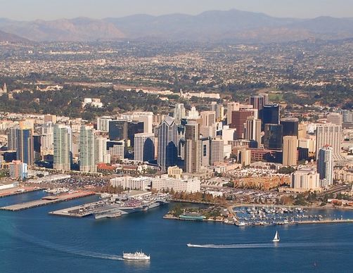
san diego california aerial view
black black white black and white
hurricane earth satellite
washington dc lincoln memorial landmark
cold front warm front hurricane
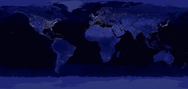
earth world lighting
globe earth magnifying glass
volcanic eruption eruption volcano
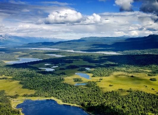
alaska denali river
hand man show
Loading more items please wait...
Loading more items please wait...
Previous
1
2
3
4
5
Next
Advanced search
Search term:
Search type:
Match any
Match all
Search in:
Vectors
Icons
Photos
Fonts
Website templates
PSD
Licence:
All licence
Allow commercial use
Sort result:
Best match first
Newest first
Much download first
Less download first
Search
Home
Licences
Term
Privacy
About
Contact
Popular tags
aerial view
map
satellite photo
satellite image
clouds
winter
hurricane
land
landscape
sky
cyclone
storm
earth
architecture
continent
tropical cyclone
mountains
outside
water
city
geography
Buy a commercial licence
Buy a cup of coffee for our design team
Get 15% off at Shutterstock! Use code: 15AFD at checkout! (Valid until 1/31/24)
Top
Get 15% off at
! Use code: 15AFD at checkout!