Free vectors
Free Photos
Free fonts
Free Footages
Web templates
Free Icons
Free brushes
Free styles
Free patterns
Free PSD
Search Photos
Request a design
Upload
Login with Google
Home
Photos
satellite maps
Satellite maps photos
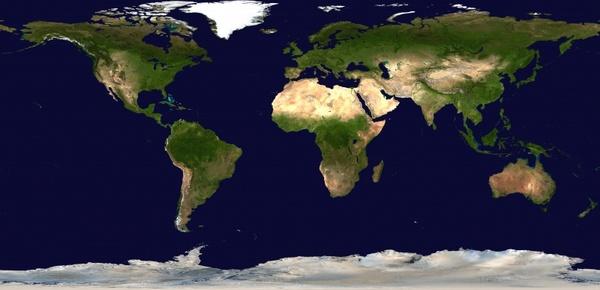
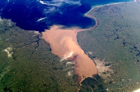
Free download satellite maps photos 258 files in .jpg format sort by recommend first page 2, european map, map 3d, internet map, world and maps, old world map, old map, ancient map
Sort by:
Default
Trending now
Newest
Recommend
Relevant
Popular
Unpopular
european map
map 3d
internet map
world and maps
old world map
old map
ancient map
round map
world map stock photo
navigation map
grass map
gps maps
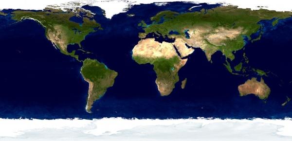
map of world
map compass
compass map
navigation map and compass
world map background
ancient world map
illustrator keyboard shortcuts wallpaper 01 hd pictures
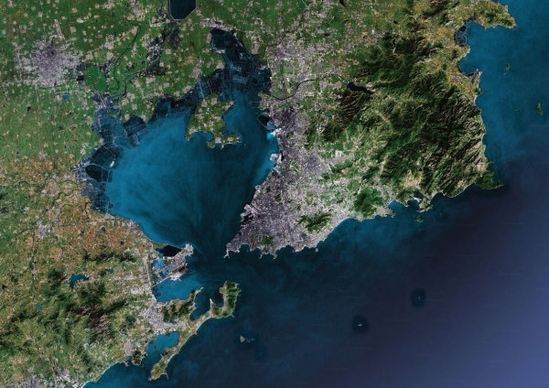
qingdao map highdefinition picture
flash keyboard shortcuts wallpaper 03 hd pictures
shaking spot hd larger image
blue skirts woman seaside style highdefinition picture
3d car renderings 04 hd picture
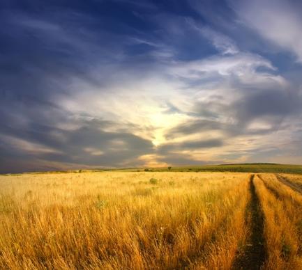
natural scenery 05 hd picture
photoshop keyboard shortcuts wallpaper 04 hd pictures
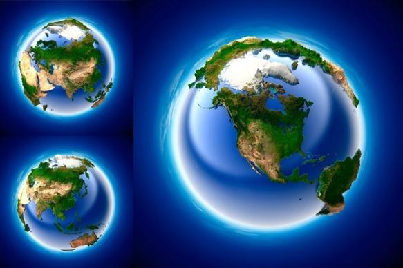
3d multiangle earth hd picture
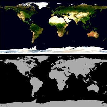
earth39s surface texture black and white maps
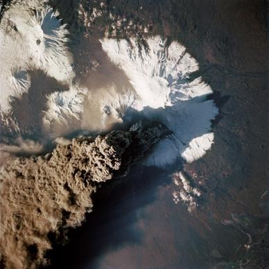
volcanic eruptions highdefinition map
office school stationery 02 highdefinition picture
hd technology image 03 hd pictures
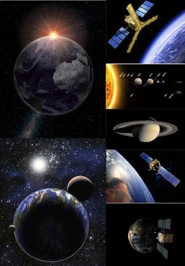
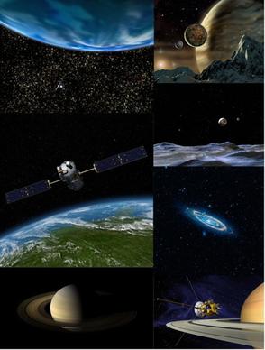
3d the vast universe highdefinition picture 7p
3d the vast universe highdefinition picture 7p
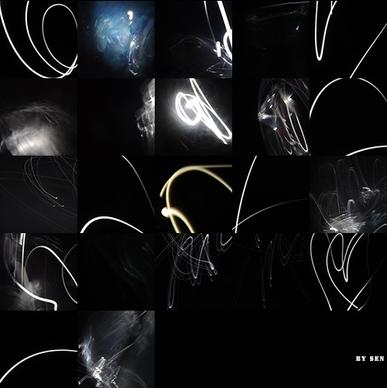
any photographic lines of light map
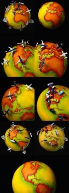
3d orange www and the world map image
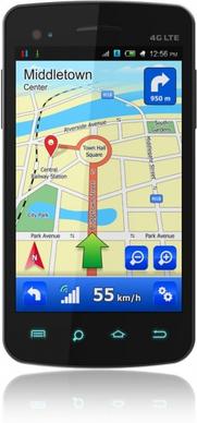
mobile navigation figure 02 hd picture
gps car navigation systems 01 hd pictures
modern science and technology picture 06 hd picture
3d car renderings 01 hd picture
earth polar coordinates definition picture
total 3d stains map picture
books expand the map
dream of red mansions fantasyland imaginary map
3d threedimensional map of the world picture
brush handwriting jpg map
earth nasa map
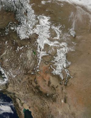
rocky mountains
natures roadmap
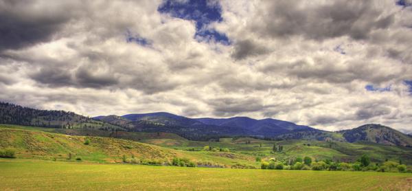
beautiful landscape
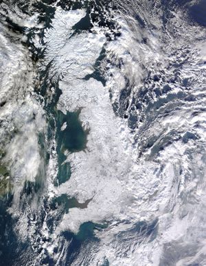
united kingdom winter aerial view
nasa map day
satellite
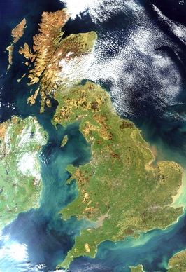
united kingdom england satellite image
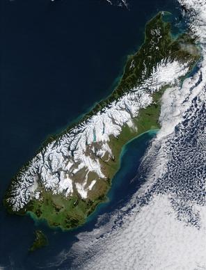
new zealand south island satellite photo
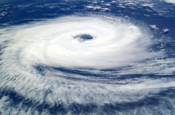
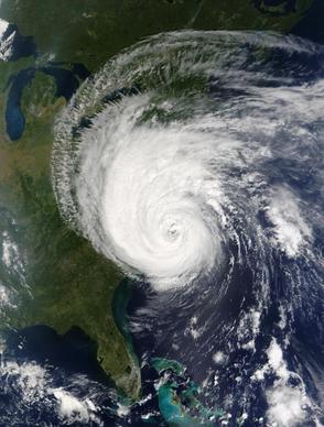
cyclone catarina hurricane
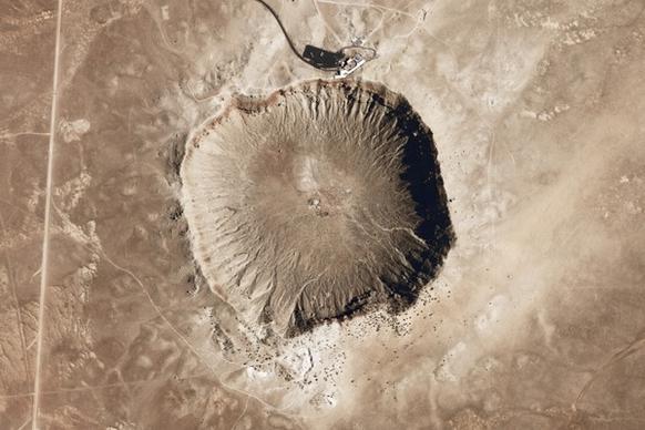
meteor crater meteorite impact
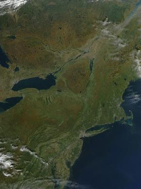
nasa satellite sees fall colors in northeastern united states and canada
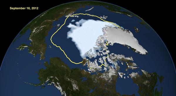
arctic sea ice hits smallest extent in satellite era
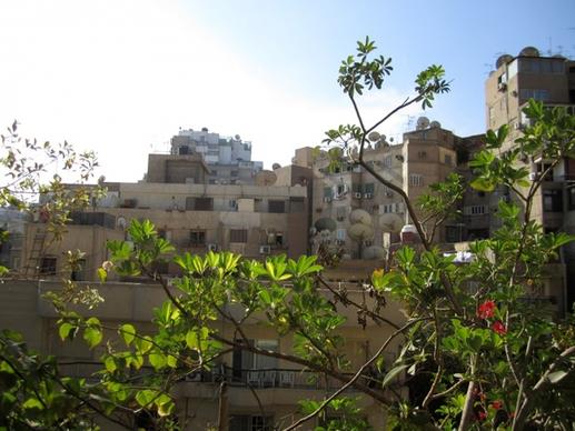
cairo buildings
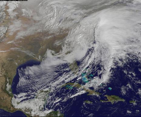
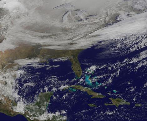
satellite views powerful winter storm battering mid atlantic and new england
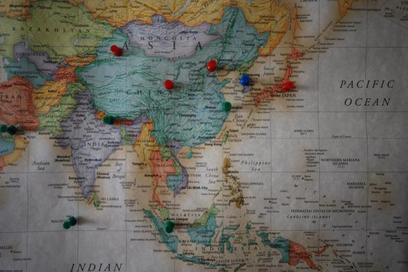
travel map asia
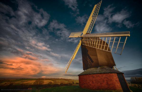
brill windmill sunrise
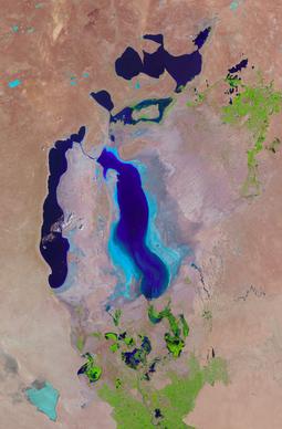
the aral sea
satellite views powerful winter storm battering mid atlantic and new england
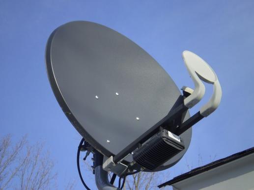
satellite dish
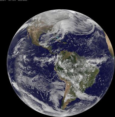
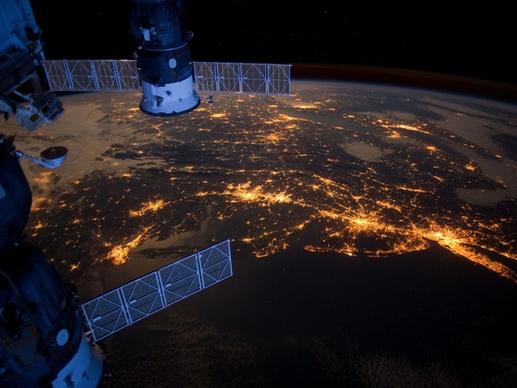
united states atlantic coast night
scandinavia norway winter
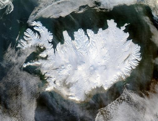
iceland winter polar cap
satellite photo aerial view satellite image
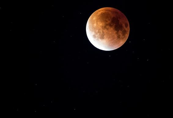
astronomy crater eclipse exploration full moon
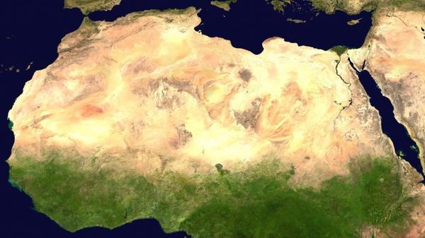
sahara desert satellite photo
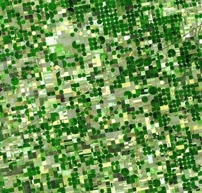
field cultivation fields cultivation
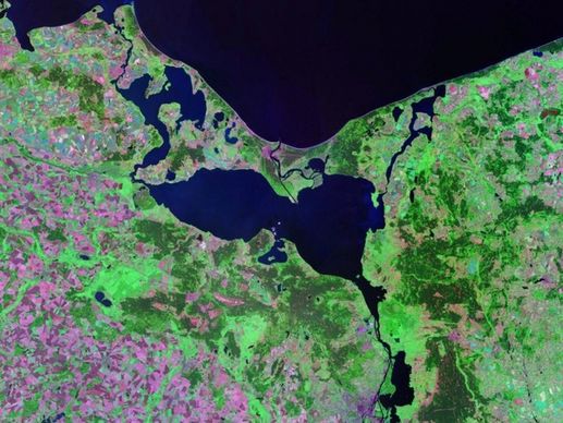
pomeranian bay stettiner haff aerial view
hurricane isabel tropical cyclone
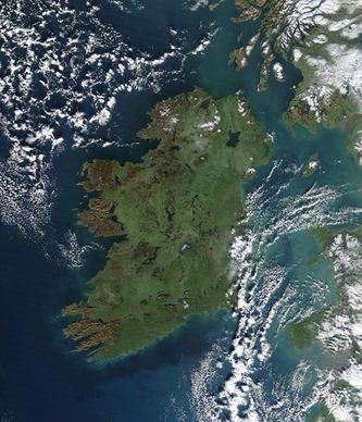
ireland aerial satellite image
satellite picture shows the snow covered us deep freeze
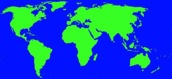
map of world
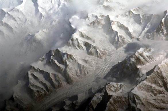
central tien shan china landscape
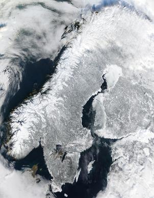
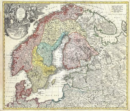
scandinavia norway sweden
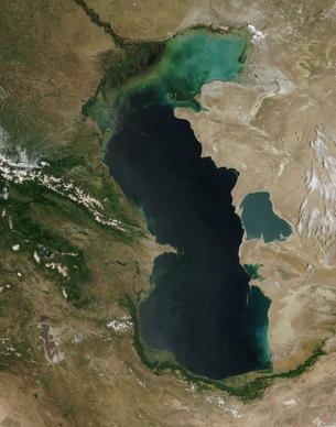
caspian sea satellite photo aerial view
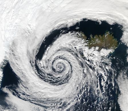
depression cyclone iceland
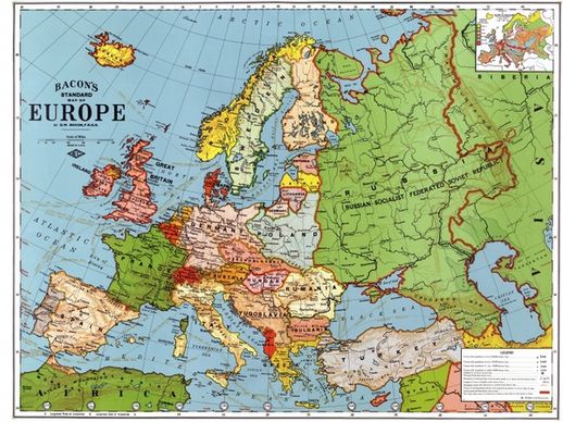
europe map 1923
sunday in summer
ancient city color colour detail geography guidance
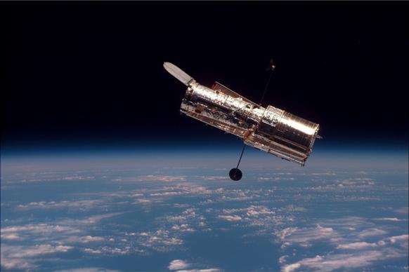
telescope space telescope hubble weltraumteleskop
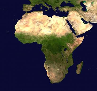
africa continent aerial view
Loading more items please wait...
Loading more items please wait...
Previous
1
2
3
Next
Advanced search
Search term:
Search type:
Match any
Match all
Search in:
Vectors
Icons
Photos
Fonts
Website templates
PSD
Licence:
All licence
Allow commercial use
Sort result:
Best match first
Newest first
Much download first
Less download first
Search
Home
Licences
Term
Privacy
About
Contact
Popular tags
aerial view
satellite photo
map
satellite image
nasa
winter
earth
satellite
stars
clouds
weather
3d
space
navigation
planets
snow
storm
software
mapping
light
cars
ice
goddard
iced
cyclone
atmosphere
Buy a commercial licence
Buy a cup of coffee for our design team
Get 15% off at Shutterstock! Use code: 15AFD at checkout! (Valid until 1/31/24)
Top
Get 15% off at
! Use code: 15AFD at checkout!